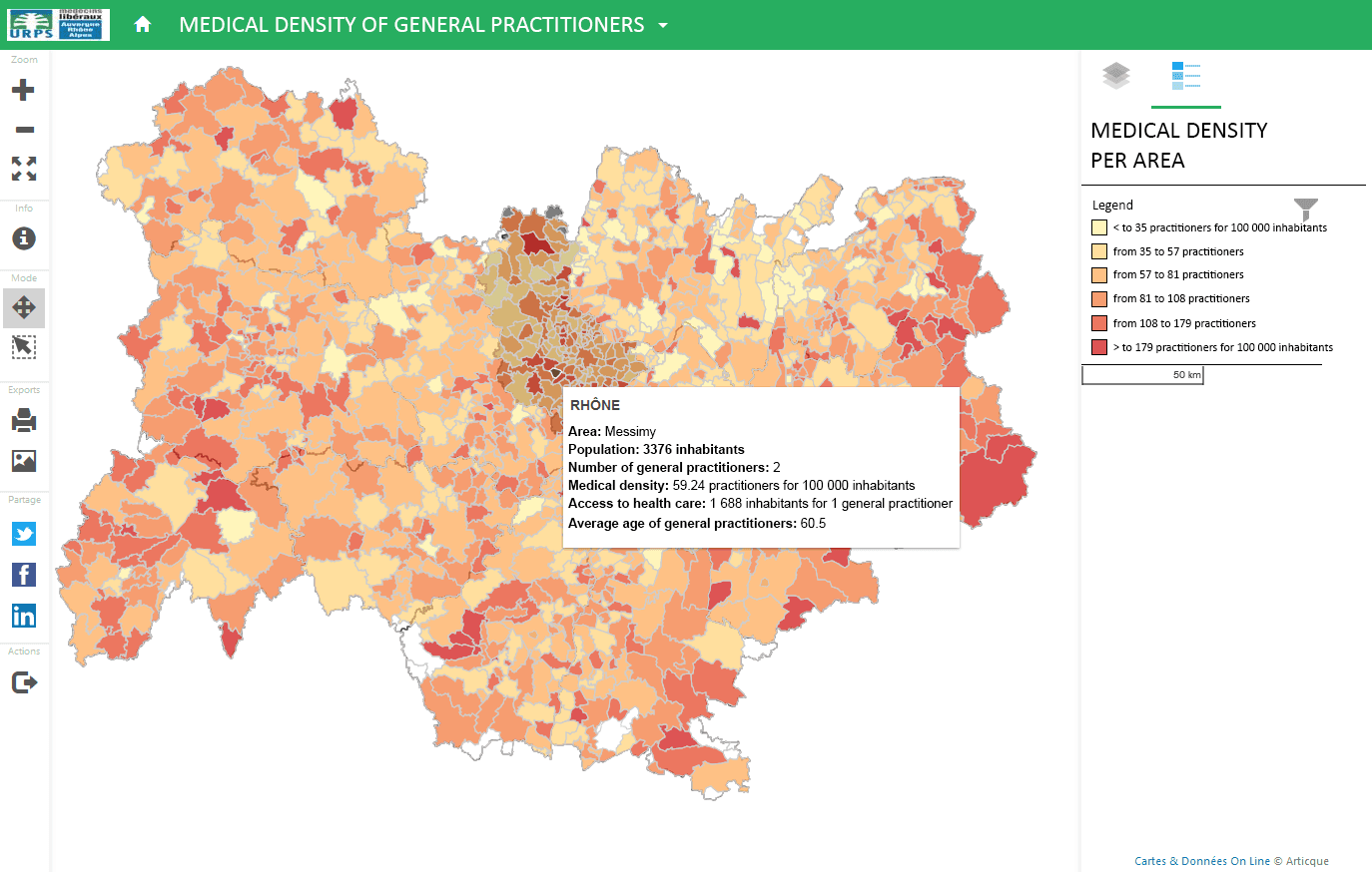
While the organizations started out using C&D to make static maps, it moved on to dynamic maps with interactive atlases. The fact that you can share your creations easily through a simple URL with people who are not users of the software, and the possibility of displaying the atlas for the general public on a web page are concrete advantages.
“The software includes a lot of features which allow us to create a large variety of maps. We especially appreciate the fact that we can create dynamic atlases: users both have a global vision of their territories, and can zoom in on the local scale. All the information they need is readily available in tooltips.
The interface is user-friendly, easy to use, and the maps are immediately ready to be published, which is a major advantage!”


 DR
DR